Commissioners will choose a group of focus maps in upcoming meetings and then one map to adopt in early December
By Giana Magnoli,
Noozhawk Managing Editor
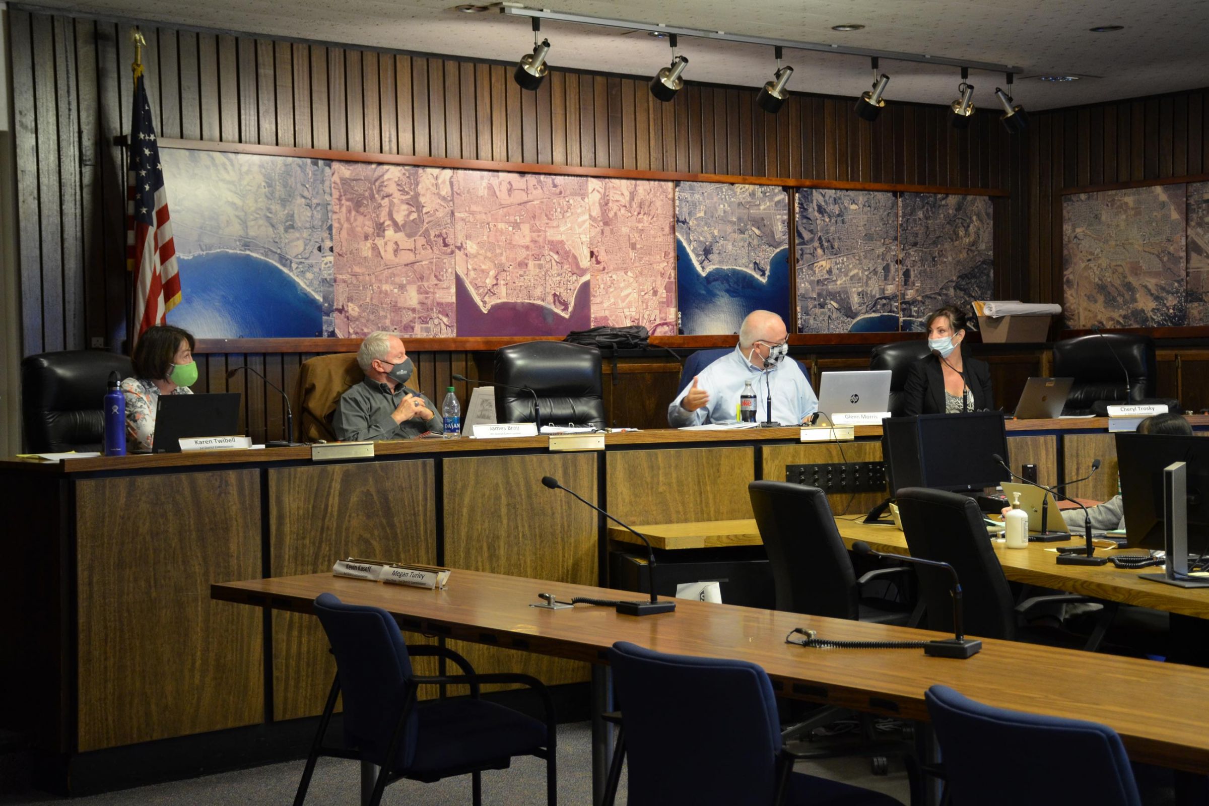
Redistricting commissioners met Friday to review proposed Santa Barbara County supervisor district maps submitted by members of the public.
More meetings are scheduled in the next two weeks to narrow down the field to four or five focus maps.
On Dec. 8, the commissioners will choose one map to adopt.
The Santa Barbara County Citizens Independent Redistricting Commission is charged with picking a map with boundaries for the five county supervisor districts based on 2020 U.S. Census Bureau data.
Map-drawing criteria include districts that are about equal in population, minimize dividing cities and communities of interest, and be geographically contiguous and compact.
County residents have been weighing in on the maps and which communities they think should be linked in a district together. Comments are accepted during public comment at the meetings and by sending written comments redistricting@countyofsb.org.
You can review and compare the proposed maps in a map view here and view them all in PDF form on the website at https://drawsantabarbaracounty.org/view-draft-maps/.
Santa Barbara County’s South Coast communities have a population too large to fit fully into two supervisorial districts and too small to completely fill three districts, and it’s the same situation for North County and Mid-County communities.
The current map for the Third District groups together Isla Vista and southwestern Goleta with the Santa Ynez Valley, part of the Lompoc Valley and Guadalupe.


