
By Raiza Giorgi
publisher@santaynezvalleystar.com
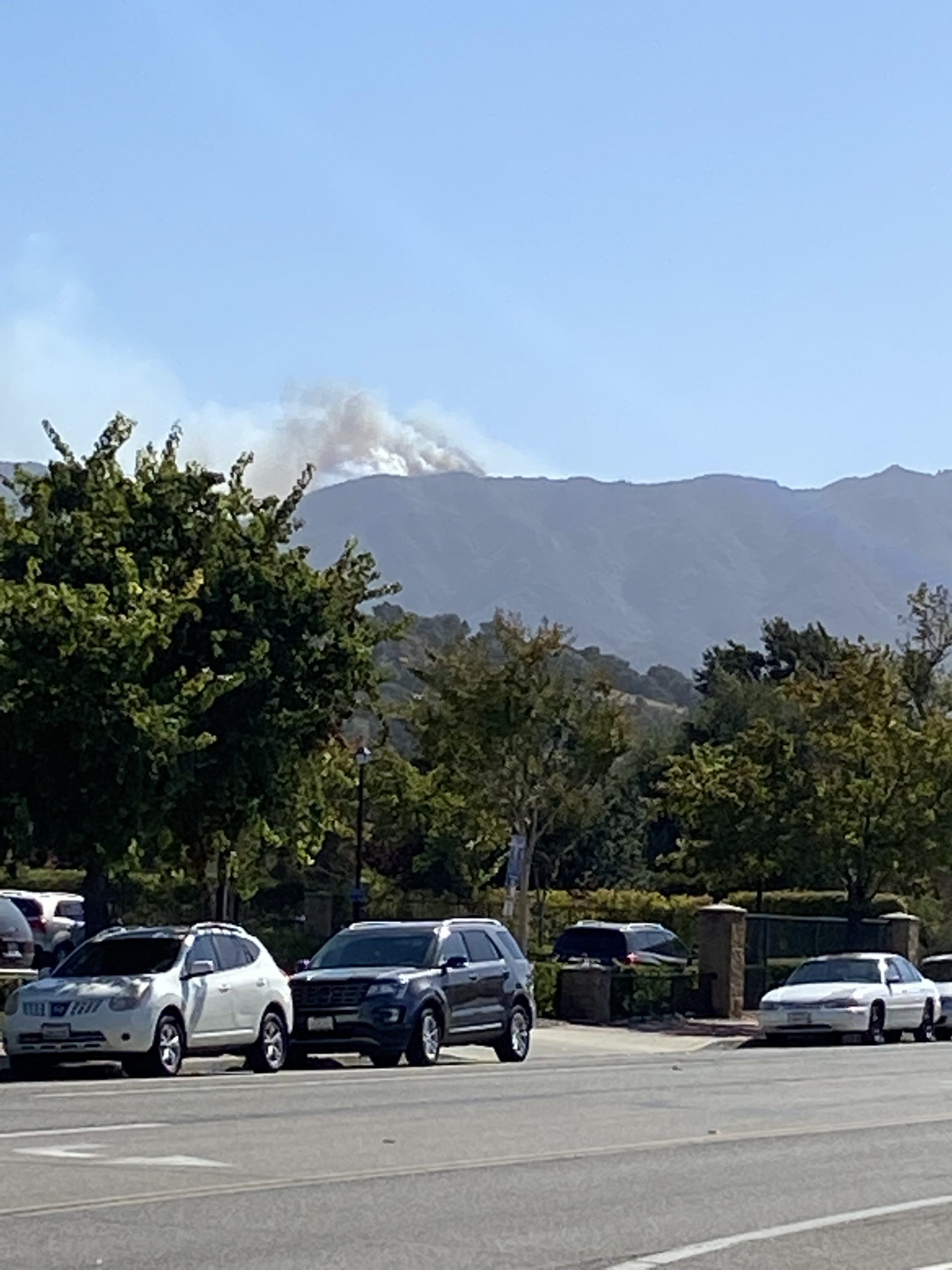
A vegetation fire broke out Monday afternoon in the Santa Ynez Mountains near Refugio peak, according to fire officials with Santa Barbara County Fire.
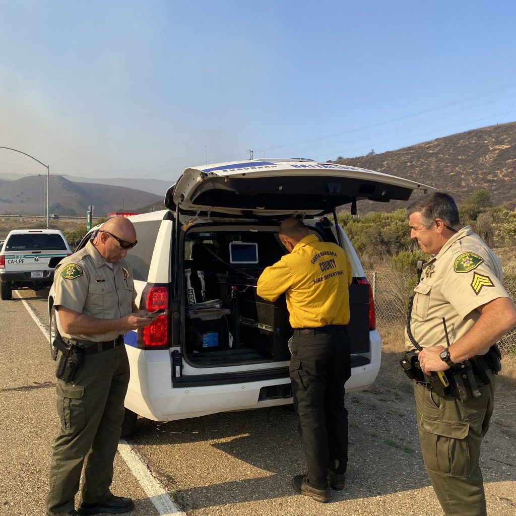
Shortly after 2 p.m., personnel from SBC Fire stations have been dispatched to assist Los Padres National Forest, to the fire that is rapidly growing from high wind gusts. The #AlisalFire is burning reportedly due north of Tajiguas Canyon, between Alisal and Refugio roads in the Los Padres National Forest.
“As crews get there we will assess the scene and hopefully get a quick attack to limit the size, but this area hasn’t seen significant rain in years and with the wind gusts, this has the potential to grow,” said Andrew Madsen, USFS public information officer.
Madsen continued this is in the vicinity of the Reagan Ranch at the top of the mountain, however he wasn’t sure how close but they are aware of doing structural protection.
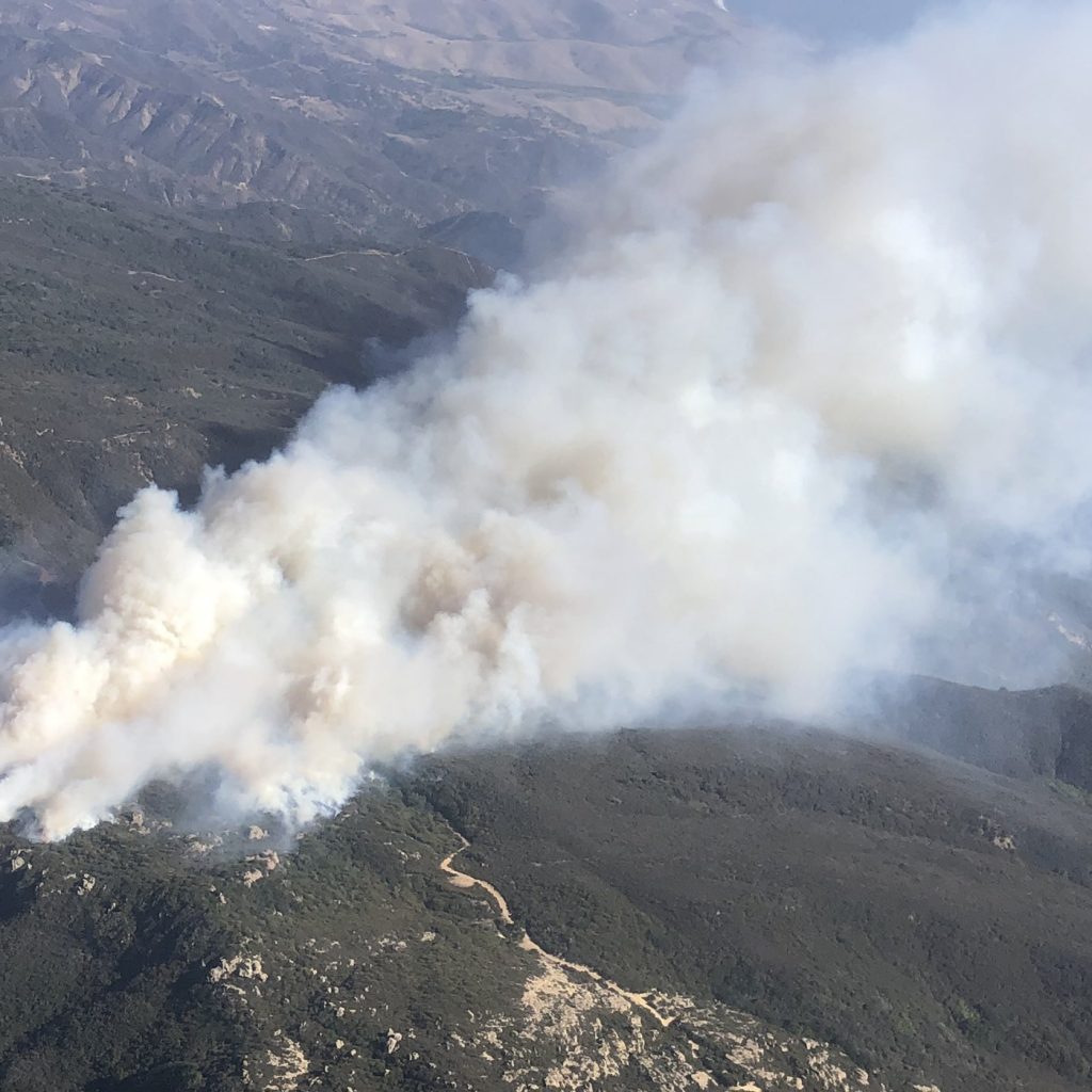
According to the @CAFireScanner, wind gusts are estimated to be 15 – 20 miles per hour, and units in the area are saying the fire could be between 50 – 100 acres.
Multiple crews including aircrafts are on their way to assess the size and accessibility of the fire, Madsen added.
Local documented fire history in that area starts with the 1955 Refugio Fire that burned 79,428 acres, including both slopes of the Santa Ynez mountain range from Gaviota to San Marcos Pass, according to the Fire Safe Council. That was the last time this part of the mountain range burned until 2016, when the 7,400 acre Sherpa Fire started in almost the exact location as the 1955 Refugio Fire. The Sherpa Fire was on the south side of the slope and did not go on the north side however.
Refugio Road has been closed at Highway 101, according to California Highway Patrol officials.
Santa Barbara County Sheriff’s have issued an evacuation order for the areas of Arroyo Hondo, Tajiguas and Arroyo Quemada. They just added Refugio Canyon as of 5:30 p.m., according to Raquel Zick.
As of 7:30 p.m. El Capital State Beach and El Capitan campgrounds are under evacuation.
The fire is now over 1,000 acres with zero percent containment, and approximately 100 structures are threatened, according to InciWeb.
The concern is there is 35 mile an hour winds with gusts up to 70 miles per hour.
Santa Barbara County Animal Services has been activated for anyone that needs to evacuate livestock, they can take them to Earl Warren Showgrounds. Call their hotline at 805-681-4332 if you need assistance.
An interactive evacuation map is now available for the #AlisalFire at arcg.is/1zO4m8. Enter your address at the top right field to determine if your area is under an Evacuation Order. #ReadySBC
Check back for updates to this story.


